Monday, September 19, 2005
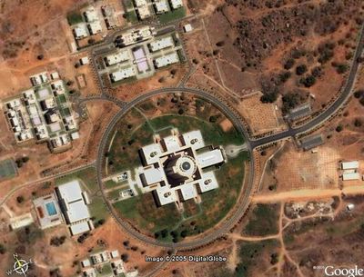
Here is a Google Earth view of a part of the ISB campus. This satellite image is a bit old and some buildings are missing. This was sent to us by our Assistant Director, Co-curricular activities, who happens to be an alum.
In the center is the main acad block. The structure to the left of it in the NW direction is my student village.

posted by Ram at
1:02 PM
 
2 Comments:
awesome snap. hopper does do some good stuff sometimes...!
5:25 AM
SV1 is North Eastern of the pic and not NW
8:32 AM
|